Using our M/V Denar Explorer research vessel and cutting-edge Autonomous Underwater Vehicle (AUV) support from partners, we conduct advanced underwater operations.
The YellowScan bathymetric LiDAR system offers an innovative solution for seamless underwater and land topography analysis. Its lightweight design ensures compatibility with various platforms.
Specializing in the control, calibration, and validation of GNSS and IMU systems, we deliver high-precision services for maritime and offshore industries.
Equipped with our advanced Hydrocat 550 ASV, we offer services in bathymetric surveys, environmental monitoring, and infrastructure inspections through precise data collection.
Geotechnical studies are critical for ensuring marine structures are built on solid foundations. By analyzing seabed and soil composition, we guarantee the safe completion of projects.
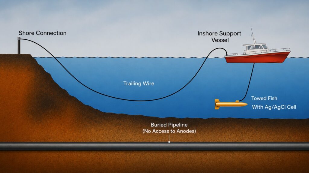
Den-Ar Ocean Engineering Services is pleased to announce that Cathodic Protection (CP) Trailing Wire Surveys are now fully integrated within our service portfolio.