

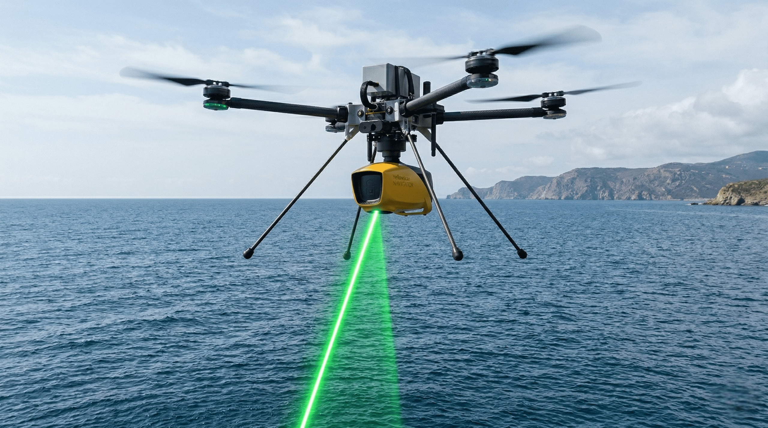
Closing the Gap in Coastal Surveys with Drone-Based LiDAR Bathymetry
Collecting data in coastal zones has always been challenging.
Neither land surveys nor vessel-based systems can fully cover this area alone.
🔹 THE PROBLEM
- MBES cannot operate in very shallow waters
- Topographic surveys stop at the shoreline
👉 Result:
A critical data gap in nearshore zones
🔹 THE SOLUTION: LiDAR + UAV
At DenAr, using
YellowScan Navigator + Hexadrone Tundra 2:
- Water surface and seabed are captured simultaneously
- Safe data acquisition close to shoreline
- Seamless land + water data in a single flight
🔑 Key Advantages
✔ Enables shallow water measurements
✔ Seamless land-to-water transition
✔ Fast and safe operations
✔ Efficient coverage of large areas
🔹 THE RIGHT APPROACH
Not a replacement, but a complement:
👉 LiDAR for shallow areas
👉 MBES for deeper zones
➡️ Combined, they provide a complete coastal model
🔹 BOTTOM LINE
LiDAR fills the most critical gap in coastal surveys.
When integrated properly, it significantly improves data reliability.
Where vessels cannot go, drones take over. 🚁