

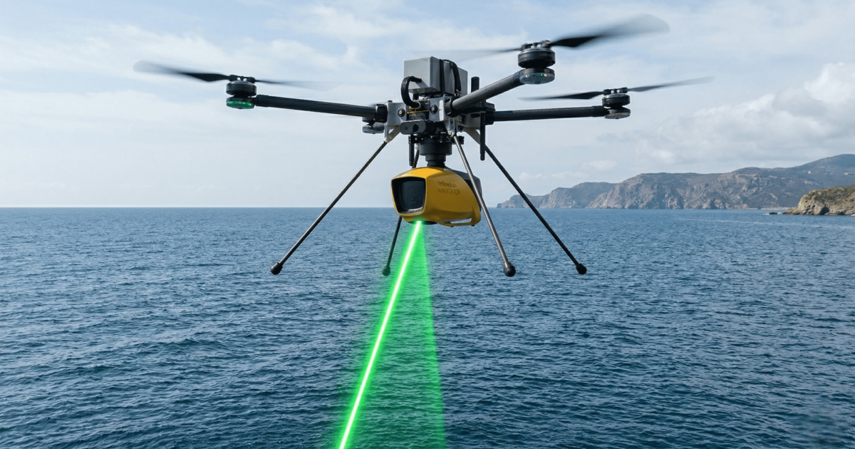
Closing the Gap in Coastal Surveys with Drone-Based LiDAR Bathymetry
Collecting data in coastal zones has always been challenging.Neither land surveys nor vessel-based systems can fully cover this area alone. 🔹 THE PROBLEM MBES cannot operate in very shallow waters Topographic surveys stop at the...


